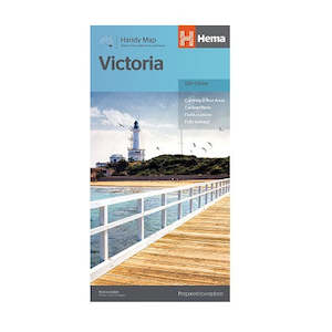
Victoria Handy Map

Victoria is situated in the southeast of the continent and it also happens to be the most populated. The state is not only home to Melbourne, but a great number of natural wonders, including the Great Ocean Road – a 664km stretch of road that takes travellers from Torquay to Port Fairy, passing through the 12 Apostles.
Some of the most popular destinations in Victoria include the waterfalls, which can be found in the Otways. 4WD enthusisasts will also have a chance to test their off-road driving skills in the Victorian High Country, amidst the unforgiving Australian Alps.
Most of Victoria boasts an oceanic climate, although to its size, is also offers a semi-arid climate to visitors on the North West area of the state.
Key Features
- Map of Victoria at a scale of 1:850,000
- Includes highways, major and minor roads, points of interest, information centres, picnic areas, caravan parks and lookouts
Folded map size: 125mmx250mmx3mm
Open map size: 500mmx875mm
Weight: 0.05kgs
Actual product cover may differ from image
