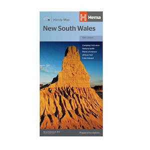
New South Wales Handy Map

Hema places half the state on either side of the map for easy handling and easy reference. There is a good network of roads shown plus some major 4WD tracks. All main and most minor roads carry distances and place names are indexed. Roadside rest areas along main touring routes are also shown.
Key Features
- Handy map of New South Wales at a scale of 1:1,400,000
- Includes National Parks, camping areas, caravan parks, rest areas, 24-hour fuel stops and other points of interest
Folded map size: 127mmx250mmx3mm
Open map size: 500mmx875mm
Weight: 0.05kgs
Actual product cover may differ from image
×
